A View From the Inside: SRP Flowtography™
April, 2016
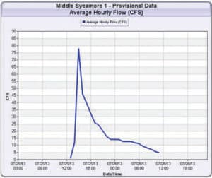
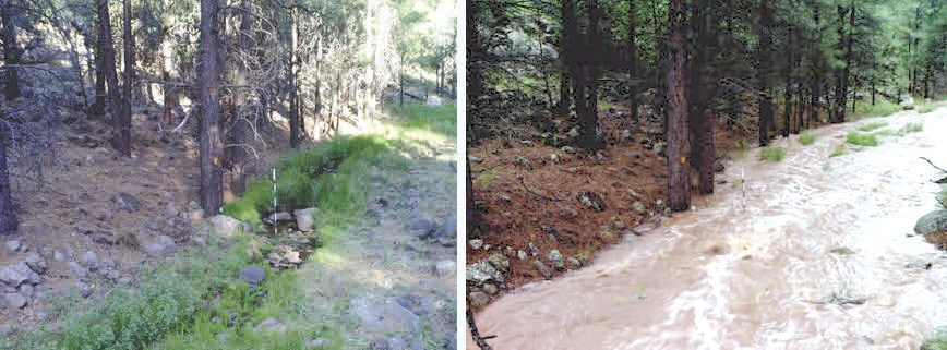
 The Salt River Project (SRP) has recently pioneered an innovative and low-cost technology that gathers images of stream depth information. SRP Flowtography™ is a minimally invasive method of time-lapse photography equipped with event gages designed to quantify stream flow at a given location. Collecting time-lapse images across sites of interest, scientists, hydrologists, and analysts at SRP are able to better understand and characterize existing watershed (baseline) conditions, and ultimately monitor forest restoration impacts on watersheds.
Flowtography™ also provides data that account for weather events, tree health, snowpack and other environmental conditions. Photo data are transmitted remotely allowing scientists to be virtually on-site within the watershed. Once image and sensor data are collected,stage data can used to create a predictive rating curve, compute flow, and create hydrographs. Images can be used repeatedly, and in the future will assist with other investigations to identify peripheral conditions or parameters at a site at the time of the image collection.
Finding Common Ground: 4FRI Collaborative Planning Takes to the Forest
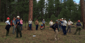
Finding Common Ground: 4FRI Collaborative Planning Takes to the Forest The second large analysis, the Rim Country Environmental Impact Statement (EIS), picks up on a challenging aspect of planning that needed further collaboration and support from stakeholders after the first EIS—that of managing “stands with a preponderance of large, young trees” (SPLYTs). They’re not “old […]
A View From the Inside: In the Field with Mixed Conifers
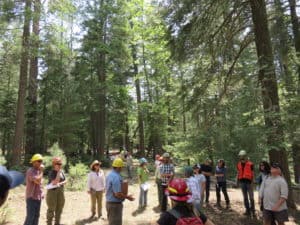
A View From the Inside: In the Field with Mixed Conifers On June 8, the U.S. Forest Service and the Ecological Restoration Institute (ERI) invited 4FRI Stakeholders into the field on the Black Mesa district of the Apache-Sitgreaves National Forest to initiate discussion and share perspectives on potential mixed conifer restoration treatments. A turnout of […]
Moving into the Digital Age: Tablet Technology & Trees
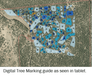
Moving into the Digital Age: Tablet Technology & Trees To reduce the time and cost associated with traditional paint-tree marking practices, forest managers in northern Arizona are testing different tree marking methods. In partnership with Arizona Department of Forestry and Fire Management, Coconino National Forest, and Perkins Timber Harvesting, The Nature Conservancy tested new technology […]
Across Our Forest: A Busy Weekend at Buck Springs
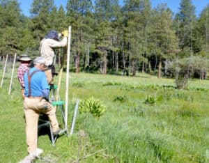
Across Our Forest: A Busy Weekend at Buck Springs July 2016 For several years now, the Arizona Elk Society (AES) has organized a volunteer work weekend near Buck Springs on the southern end of the Coconino National Forest (CNF). This year’s event was held June 11-12. Over 100 volunteers, mostly from AES and Friends of […]
A View From the Inside: SRP Flowtography™
Left: July 25, 2013 @ 14:50 – Right: July 25, 2013 @ 15:05 A View From the Inside: SRP Flowtography™ April, 2016 The Salt River Project (SRP) has recently pioneered an innovative and low-cost technology that gathers images of stream depth information. SRP Flowtography™ is a minimally invasive method of time-lapse photography equipped with event gages designed to […]
Four Forest Restoration Initiative – Copyright 2021. All rights reserved.
